
The new electric carp barrier will be installed in September with the intent to keep carp from entering the Blitzen River. Keeping them out of the Blitzen is an important part of protecting the watershed and helping native fish thrive.
Since 2019, the High Desert Partnership’s Harney Basin Wetlands Collaborative and a participant in the collaborative, Ducks Unlimited, have worked together to replace five key water diversion structures in the Harney Basin.
A record low snowpack for the Harney Basin has locals and agency managers worried about the potential for wildfire this summer. In fact, the wildfire season got an early start in April with the Swamp Fire on the Malheur National Wildlife Refuge.
Casie Smith, an ecologist with the U.S. Geological Survey, and Harney Basin Wetlands Collaborative partners started a mesocosm study in Malheur Lake in 2021. The study involved using wave barriers and flocculation to see how both would impact turbidity in the lake.
In January 2026, something unprecedented happened in Harney County: the Burns Paiute Tribe, Harney County, the City of Burns, and the City of Hines signed a joint groundwater resolution — the first time, to many participants' knowledge, that all four governments have come together to address a shared challenge.
More Perfect Expands Partnership with the Trust for Civic Life to Support Community-Led Projects to Solve Problems and Build Trust Across Divides
Seven local organizations receive funding to strengthen community connection, youth enrichment, and civic participation across Harney County.
The Harney Basin's winter so far has been wet—but not white. Early data shows the region is getting plenty of precipitation, but it's falling as rain rather than the snow that ranchers and land managers typically count on.
Reflections from 2025 and hopes for 2026 from High Desert Partnership and the six collaboratives supported by HDP.
Highlights from 2025 of Harney Basin Wetlands Collaborative work in the Harney Basin.
High Desert Partnership has received $320,000 from Business Oregon to continue delivering technical assistance to small businesses across eight rural counties in Eastern Oregon.
The project is located east of Highway 78 by the airport outside of Burns and furthers the collaborative’s goals of working with landowners to better irrigate the wet meadows for both economic and ecological purposes.
After mountain snowmelt and an abnormally wet spring caused widespread flooding throughout the Harney Basin, the Emergency Flood Infrastructure Restoration (EFIR) program stepped in to help landowners with repairs caused by the flooding. Harney Soil & Water Conservation District along with the High Desert Partnership’s Harney Basin Wetlands Collaborative put the program in motion by reallocating cost savings from an irrigation project funded through a legislative bill awarded to the wetlands collaborative.
A bill signed in July 2025 will support and acknowledge the vital role Rangeland Fire Protection Associations (RFPAs) play in protecting working lands and wildlife habitat in rural areas.
Funding cancelation hopefully a delay, not a stop to conservation efforts across Harney County.
Community partnership launches agricultural experiment to grow crops with less water while strengthening local food systems.
A recent study by a University of Oregon graduate doing work on the Malheur National Wildlife Refuge could help water managers identify areas of the Donner und Blitzen River that could use rehabilitation. One key piece of equipment that enabled Weber to take the necessary measurements for her thesis was the Acoustic Doppler Current Profiler.
Starting Saturday, June 14, the Burns Farmers Market returns to The Palace parking lot from 8 to 11:30 a.m. every week through summer, bringing with it a vibrant selection of locally grown produce, farm-raised meats and eggs, handmade breads, plants, flowers, artisan crafts, and community connection.
“Juniper encroachment has really changed the way fire behaves in this ecosystem,” said Justin DeCroo, a Fuels Planner with the BLM. “By removing dense pockets of juniper, we’re not just reducing fuel loads, we’re giving native plants and wildlife a better chance to thrive.”
Spring in Eastern Oregon means finalizing the ongoing preparations for the upcoming wildfire season. Erring on the side of caution, land managers, fire officials and community members are planning ways to mitigate damages from what could be another challenging summer.
Harney Soil & Water Conservation District and Harney Basin Wetlands Collaborative reallocate legislative funding to help repair flood irrigation infrastructure due to major spring flooding event.
Just off Highway 78, two blocks from the Harney Hub, sits a special opportunity for Harney County residents: the Harney Garden of Eatin’—a welcoming, no-cost community garden where you can grow your own food, meet fellow gardeners, and enjoy the satisfaction of harvesting something you planted yourself.
A project spearheaded by a landowner working with the Harney Soil & Water Conservation District seeks to restore the Upper Hanley Canal, where cows and wind are causing bank erosion. The project will ultimately improve wet meadow habitat.
The 2024 wildfire season in Eastern Oregon was one of the most intense in recent history, with over 200,000 acres burned across multiple fires. Land managers, fire professionals and community members are reflecting on the season and asking, what worked, what didn’t, and how do we improve for the future?
As a culmination of several Oregon Watershed Enhancement Board (OWEB) Focused Investment Partnership projects, Casie Smith, an ecologist with U.S. Geological Survey, developed a tool using a spreadsheet to determine how water availability and water management activities create various types of bird habitat on the Malheur National Wildlife Refuge. The hope is that water managers will be able to use this in and around Malheur Lake to assess and improve resident and migratory bird habitat. The goal with this spreadsheet-based tool is to bring together existing data sources to synthesize what is known about the Malheur National Wildlife Refuge and the Malheur Lake basin at this time.
In some places in the Harney Basin the snow water equivalent is more than 300 percent of normal.
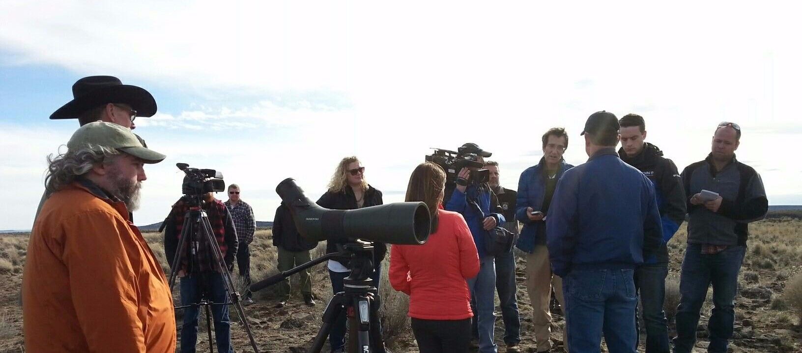
The Malheur National Wildlife Refuge is embarking on a next phase of collaborative conservation planning and is inviting the community to help shape its future management. At the heart of this new phase is readdressing the existing Comprehensive Conservation Plan, a strategic document that will continue to guide the refuge's management for the next 15 years.